7303-017-062
Teledyne FLIR SkyRanger R70 – Tactical Intelligence with Survey-Grade Precision - image 1
  • Teledyne FLIR SkyRanger R70 – Tactical Intelligence with Survey-Grade Precision - image 1
  • Teledyne FLIR SkyRanger R70 – Tactical Intelligence with Survey-Grade Precision - image 2

Teledyne FLIR SkyRanger R70 – Tactical Intelligence with Survey-Grade Precision

Highlights:

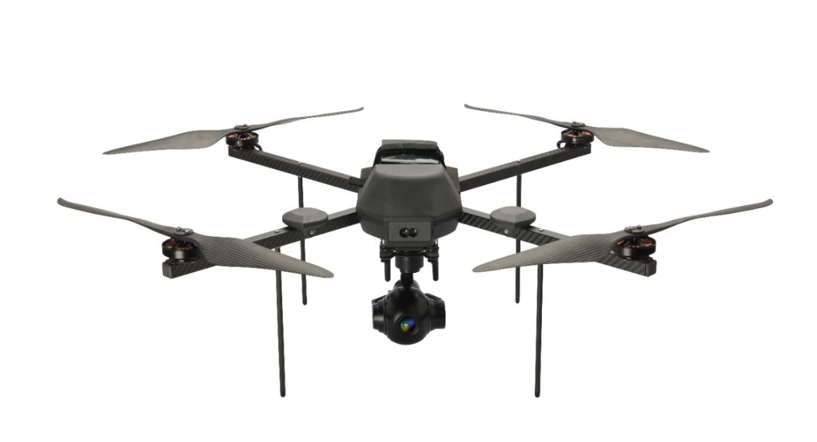
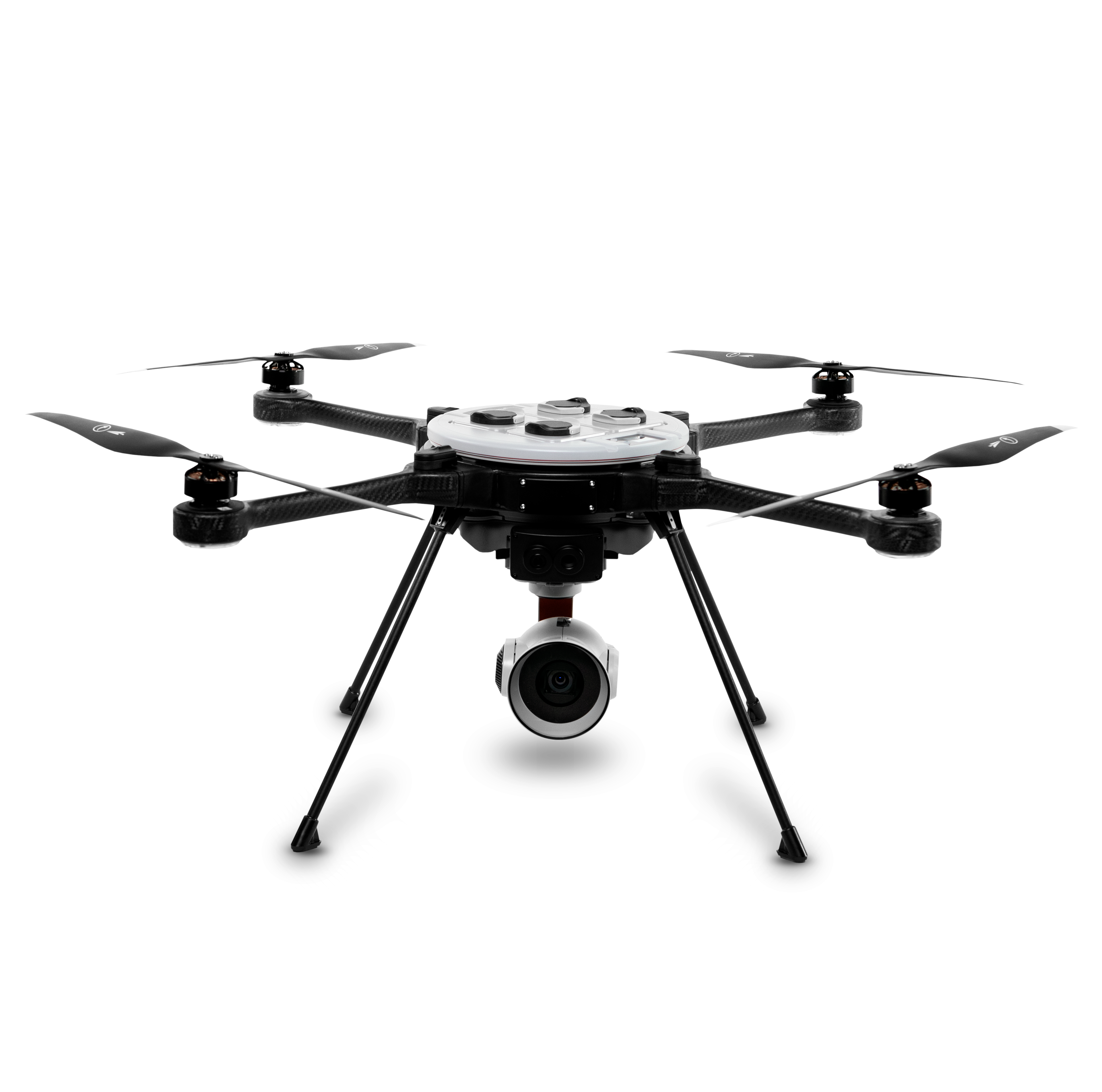
  • Weight:Approx. 5.4 kg

  • Battery Time:45 minutes

  • Max Video Resolution:HD 1080p (EO), with advanced IR thermal options

  • Manufacturer Warranty
  • support Expert Support
  • Free Shipping

Overview

This drone is perfect for tactical operations, industrial inspection and precision aerial data collection. The R70 combines AI capabilities, military-grade durability and modular payload flexibility. With its cutting-edge flight system and payload versatility, it’s a good option for defence forces, public safety agencies and industrial survey teams. The total cost of this drone in India is around Rs.13,00,000

Specifications

  • High-Resolution Imaging Payloads: It supports FLIR’s proprietary imaging systems, including HD EO/IR cameras for thermal and optical data, enabling operations in both day and night conditions.
  • AI-Enhanced Autonomy: It features object detection and tracking, GPS-denied navigation, and onboard AI abilities for executing complex missions in dynamic environments.
  • Multiple Payload Capacity: The R70 can carry up to three simultaneous payloads and supports 3.5 kg, providing extensive mission customization options.
  • 45-Minute Flight Time: The R70 features hot-swappable dual batteries, offering extended flight endurance and making it perfect for surveys or long surveillance.
  • Weather-Resistant Design: Rated for IP53 weather protection, the drone can operate in rain.

Use Cases

  • Tactical Surveillance & Public Safety:  It is used by defence agencies and police forces for reconnaissance, crowd monitoring and high-risk incident response.
  • Disaster Response & Search Operations:  This drone excels in SAR missions, providing superior thermal vision for assessing damage.
  • Border Security & Perimeter Monitoring: With long flight times and safe communications, it is valuable for incessant perimeter surveillance.
  • Surveying in Challenging Terrain: Perfect for 3D mapping and terrain modelling in remote or GPS-compromised areas, with pin-point accuracy.
Related Tags:
Professional Camera Drone Survey Drones

Confused About Aircraft Training or Careers?

Whether you're aiming to be a pilot or aviation expert, we’re here to help you choose the right aviation path.

Chat with Expert Book Free Counselling

Explore More Drone Products

Browse similar UAVs and add-ons trusted by students and professionals alike.

Share

half-star-solid phone