7303-017-062
Yuneec H520 – Precision Meets Professional Aerial Mapping - image 1
  • Yuneec H520 – Precision Meets Professional Aerial Mapping - image 1
  • Yuneec H520 – Precision Meets Professional Aerial Mapping - image 2

Yuneec H520 – Precision Meets Professional Aerial Mapping

Highlights:

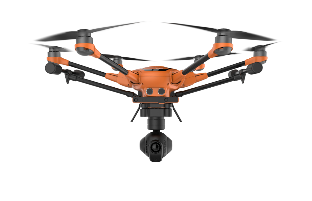
  • Weight:Approx. 1.6 kg

  • Flight Time:30 Minutes

  • Max Video Resolution:4K at 60fps (with E90 camera)

  • Manufacturer Warranty
  • support Expert Support
  • Free Shipping

Overview

It is a professional drone for surveying, mapping, inspection and security applications. This drone offers survey-grade data collection capabilities, complemented by cutting-edge camera options and dependable flight performance. With its sturdy design and open SDK platform, it’s a favourite for GIS professionals. In India, it is available for around 3,00,000

Specifications

  • High-Precision 1" Sensor:  It is compatible with the E90 camera with a 1-inch 20MP sensor; the H520 delivers superior stills and 4K video, perfect for inspection and mapping.
  • RTK-Ready with Optional Add-On: The H520 features a real-time kinematic (RTK) module for achieving utmost precision.
  • Hot-Swappable Payloads: The device supports multiple camera types, including thermal (E10T), wide-angle, and zoom lenses, allowing users to switch payloads without powering down.
  • 30-Minute Flight Time: This drone can stay airborne for up to 30 minutes with the E90 camera, providing operators with sufficient coverage for large-area mapping.
  • DataPilot™ Mission Planning Software:  This drone comes with an easy-to-use mission planning software for grid surveys, automated flight paths and 3D modelling missions.

Use Cases

  • Land Surveying: This drone provides accurate data collection across various terrains, making it ideal for mapping and managing land parcels.
  • Infrastructure Inspection: Its payload flexibility and stable hovering capabilities make it perfect for inspecting bridges, towers and other infrastructure.
  • Emergency Response & Search Operations: Its thermal camera and robust design make it ideal for fire departments, disaster management, and rescue teams.
  • Construction & Engineering:  It is used to monitor construction progress and guarantee design accuracy.
  • Precision Agriculture: With NDVI camera options, this drone can monitor crop health, optimize irrigation and improve yield outcomes.
Related Tags:
Professional Drone Medium Drone

Confused About Aircraft Training or Careers?

Whether you're aiming to be a pilot or aviation expert, we’re here to help you choose the right aviation path.

Chat with Expert Book Free Counselling

Explore More Drone Products

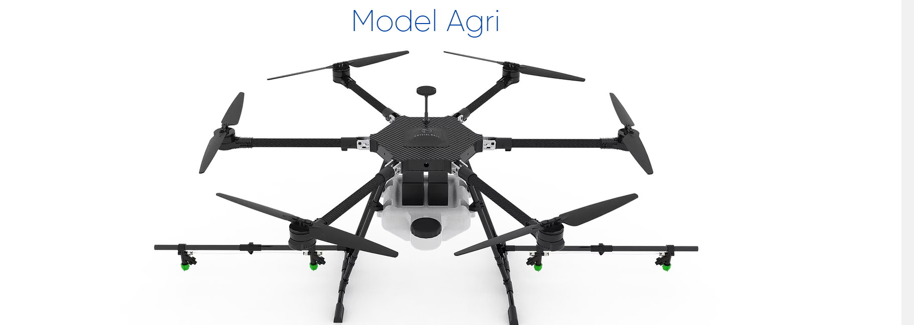
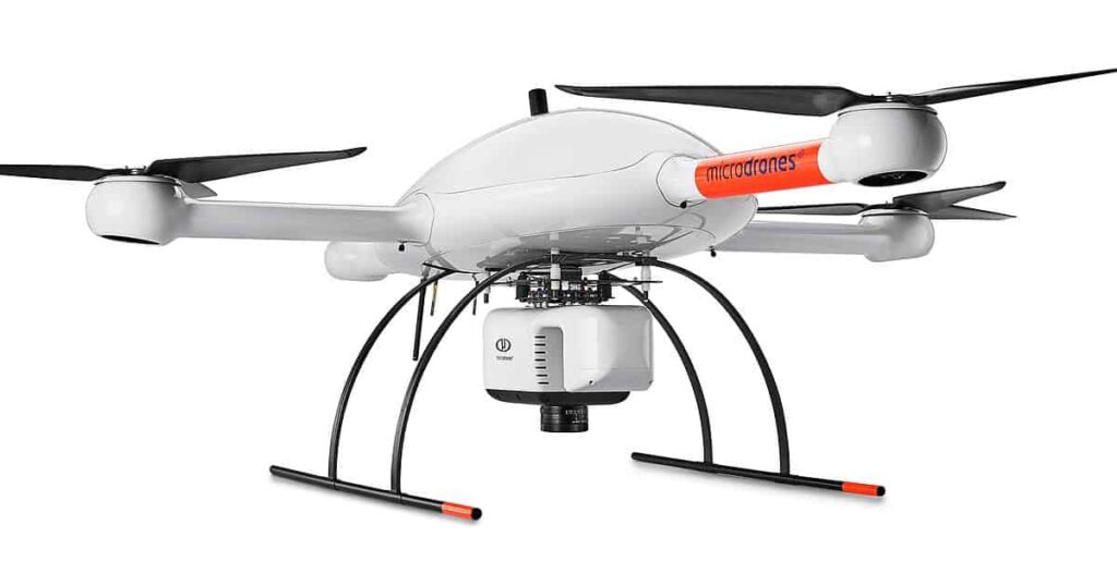
Browse similar UAVs and add-ons trusted by students and professionals alike.

Share

half-star-solid phone